
JACKSONVILLE, Fla. —
Headlines:
- Cooler air arrives Monday
- Dry air sets in Tuesday
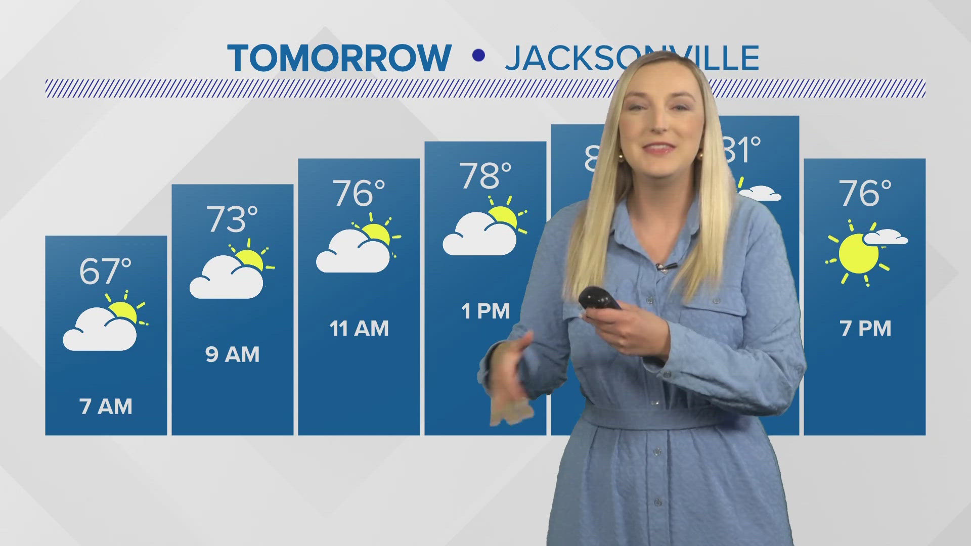
MONDAY-TUESDAY: Cooler north breezes, some showers, and possibly an isolated storm will kick off the workweek. Highs will only stay in the lower 80s, which is cooler than what's normal for this time of year. A rip current risk will return to our beaches.
WEDNESDAY - FRIDAY: We welcome bluer, brighter skies with near-zero rain chances the rest of the workweek. This will be the result of high pressure moving overhead and dominating the forecast as well as creating lighter winds and sunny skies. Temperatures will warm into the 90s.
MEMORIAL DAY WEEKEND: More moisture in our atmosphere in conjunction with an upper-level trough means afternoon and evening showers and storms are possible, but it doesn't look like a washout of a weekend. Right now, we're holding rain chances around 30%. Check back in for updates as the long weekend approaches!


Download the First Coast News app and sign up for severe weather alerts.